Welcome to the Multispectral Imaging Research and Analysis (MIRA) Team

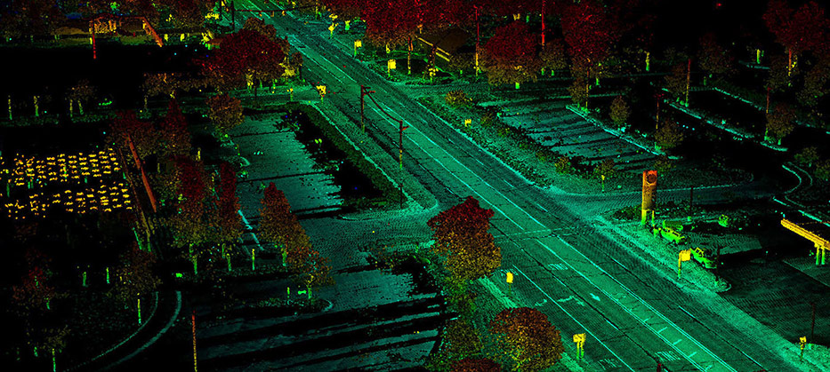
The Multispectral Imaging Research and Analysis (MIRA) team specializes in geospatial data analysis using lidar and imagery data captured from a variety of platforms such as satellite, aircraft, unmanned aerial systems (UAS), and ground vehicle systems. The MIRA team supports a variety of remote sensing applications such as terrain analysis, feature extraction, situational awareness, route planning, synthetic training, virtual reality and augmented reality (VR/AR) integration, and UAS operation and data collection. The MIRA team has conducted research for the Department of Defense (DoD), the US Intelligence Community, and the National Aeronautics and Space Administration (NASA) and is continuing to support a variety of current sponsors.
The MIRA team is part of the Signal and Information Sciences Laboratory, at The University of Texas at Austin (ARL:UT). The MIRA team functions within ARL:UT’s charter as a University Affiliated Research Center (UARC).
What is Remote Sensing?
Remote sensors collect data by detecting the energy that is reflected from Earth. These sensors can be on satellites or mounted on aircraft.
Remote sensors can be either passive or active. Passive sensors respond to external stimuli. They record natural energy that is reflected or emitted from the Earth's surface. The most common source of radiation detected by passive sensors is reflected sunlight.
In contrast, active sensors use internal stimuli to collect data about Earth. For example, a laser-beam remote sensing system projects a laser onto the surface of Earth and measures the time that it takes for the laser to reflect back to its sensor.
–National Oceanic and Atmospheric Administration icon for an external link